0
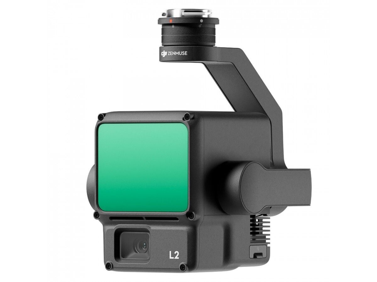
DJI ZENMUSE L2 HIGH-PRECISION AERIAL LIDAR SYSTEM FOR M350
£11,341.00
Price incl.
VAT (20%)
£1,890.17
In stock
Product Details
UPC:
6941565971777
Brand:
DJI
GTIN:
6941565971777
The performance of the LiDAR has improved to about 1/5 of L1’s spot size when the object or area is 100 m from the LiDAR. The LiDAR's penetration ability has been significantly increased, and both its detection range and accuracy have improved. The pixel size of the RGB camera has increased by 89% compared to L1's 2.4 × 2.4μm. The accuracy of the IMU has improved to 0.05° (real-time) and 0.025° (post-processing). The LiDAR supports Laser Rangefinder (RNG).
By combining GNSS and a self-developed high-accuracy IMU system, this solution achieves 4cm vertical accuracy and 5cm horizontal accuracy. [1]
It’s ready for work as soon as it’s powered on and can collect point cloud data from a 2.5km² area in a single flight. [2]
L2 reaches a detection range of up to 250 m (10% reflectivity, 100 klx) and 450 m (50% reflectivity, 0 klx). [3] The standard operational altitude now extends up to 120 meters.
With a spot size of 4×12 cm at 100m, only a fifth of that of L1, L2 not only detects smaller objects and delivers more detailed models, but can generate DEM.
Generate a standard-format 3D point cloud model with just a click, as well as a DEM. Point cloud quality can also be analyzed in DJI Terra.
Zenmuse L2 Supports three display modes - RGB, point cloud, and point cloud/RGB side-by-side display. Quickly preview the recorded 3D point cloud model [4] to get real-time progress monitoring.
Compatibility
Zenmuse L2 is compatible with the Matrice 350 RTK and Matrice 300 RTK and only supports DJI RC Plus as the remote controller. Before using, please upgrade the firmware of the aircraft and remote controller to the latest version. To ensure mapping accuracy, make sure the L2 is mounted on a single downward gimbal connector with the cable connected to the right USB-C port (when facing the aircraft).
DJI ZENMUSE L2 HIGH-PRECISION AERIAL LIDAR SYSTEM FOR M350
Display prices in:
GBP

