DJI Zenmuse L1 - LiDAR Sensor
DJI Zenmuse L1: LiDAR Sensor
A Lidar + RGB Solution for Aerial Surveying
Key Features
- Integrates a Lidar Module, an RGB Camera and High-Accuracy IMU
- 2km² Covered in a Single Flight
- IP54 Ingress Protection Level
- 5cm Vertical Accuracy & 10cm Horizontal Accuracy
- 450m Detection Range
Description
Instant Clarity. Superior Accuracy .
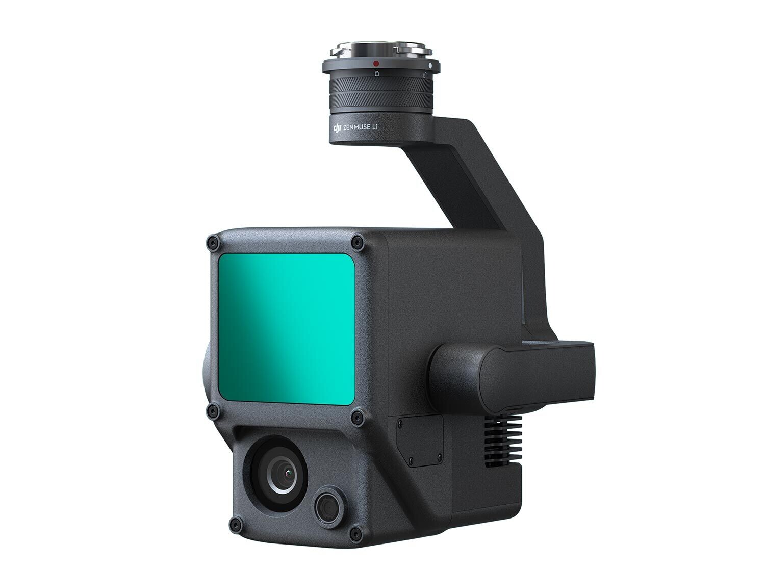
The Zenmuse L1 is a Lidar and RGB solution for aerial surveying. It combines a Livox Lidar module, a high-accuracy IMU, and a camera with a 1-inch CMOS on a 3-axis stabilised gimbal.
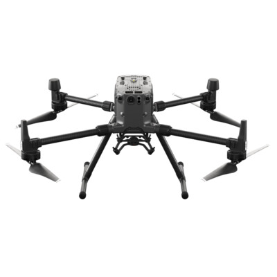
When paired with the Matrice 300 RTK and DJI Terra, the L1 offers a complete solution. It provides real-time 3D data, effectively capturing the details of complex structures and delivering highly accurate reconstructed models.
Enjoy high efficiency with the Zenmuse L1, covering up to 2km² in a single flight. Moreover, enjoy unparalleled accuracy thanks to the IMU, a vision sensor for positioning accuracy, and the incorporation of GNSS data. The L1 can achieve a vertical accuracy of 5cm and a horizontal accuracy of 10cm.
An IP54 Ingress Protection Level allows operators to operate the L1 in fog or rain. In addition, the Lidar module’s active scanning method lets you fly at night.
Potential applications using the Zenmuse L1 include topographic mapping, AEC and surveying, emergency response, law enforcement, energy and infrastructure as well as agriculture and forestry management.
Specifications
General
| Dimensions | 152 x 110 x 169 mm |
| Weight | 930±10 g |
| Power | Typical: 30 W Max: 60 W |
| IP Rating | IP54 |
| Supported Aircraft | Matrice 300 RTK |
| Operating Temperature Range | -20° to 50°C 0° to 50°C (when using RGB mapping camera) |
| Storage Temperature Range | -20° to 60°C |
| Stabilised System | 3-axis (tilt, roll, pan) |
Lidar
| Ranging Accuracy | 3 cm @ 100 m |
| Scan Modes | Non-repetitive scanning pattern Repetitive scanning pattern |
RGB Mapping Camera
| Sensor Size | 1-inch |
| Effective Pixels | 20 MP |
| Photo Size | 5472 x 3078 (16:9) 4864 x 3648 (4:3) 5472 x 3648 (3:2) |
| Focal Length | 8.8 mm / 24 mm (Equivalent) |
| Video Resolution | H.264, 4K: 3840 x 2160 30p |
Post-Processing Software
| Supported Software | DJI Terra |
| Data Format | DJI Terra supports exporting standard format point cloud models: |
What's in the box?
- 1 x DJI Zenmuse L1


